BOOSTER GRANT PROJECT
FUNDED BY OPEN MAPPING HUB ASIA PACIFIC
1.Introduction
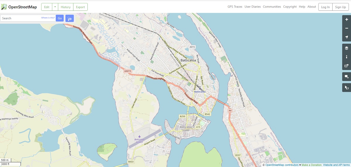
OpenStretMap (OSM) is a community based mapping platform, free and open to use by anyone to map their surrounding and then use the mapped data. It has become a highly successful project, driven by thousands of likeminded people, who have developed the platform, maintains it, doing mapping and using data. Sri Lanka also benefit from OSM, due to its free and open nature for mapping and data use. There are many community organizations and individuals worldwide supporting OSM, as open mapping helps the humanity to create and use map data in ways which are not possible with closed platforms.
OSM mappers in the Sri Lankan community also have been providing their voluntary support to enrich the OSM platform and the open-source technologies development for a long time. Some enthusiastic individuals have contributed massively and created lots of Sri Lankan data, such as road network, which are open to use freely by anyone. World Bank has funded some activities related to disaster management data collection through OSM in the past. Most of the time OSM Sri Lankan mappers individually participated in national and international events. OSM community and the Open Source Geospatial (OSGeo) community of Sri Lanka work together to promote open-source GIS and mapping in Sri Lanka.
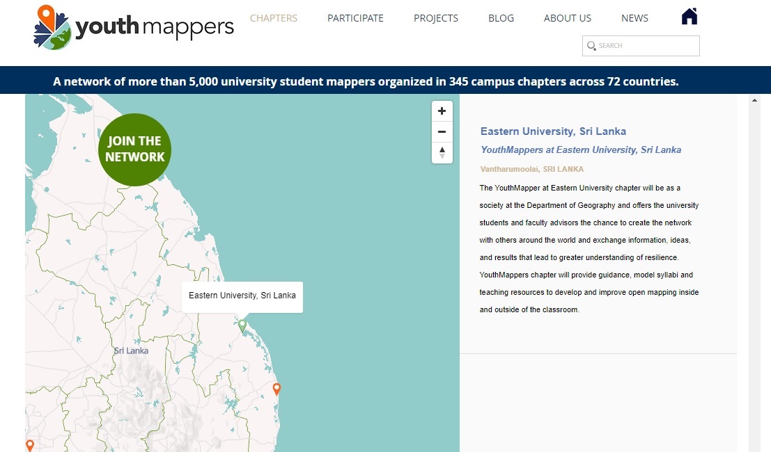
Recently, a YouthMappers chapter at the Eastern Univeristy, Sri Lanka has formed and initiated the open mapping activities in the Department of Geography, Eastern University, Sri Lanka. Youthmappers is a global community of students, researchers, educators, and scholars that use public geospatial technologies to highlight and directly address development challenges worldwide. YouthMappers was envisioned to fulfill the demand for open geospatial data access in all parts of our world. A generation of empowered young people has emerged, who have become leaders in creating resilient communities and have defined their world by mapping it. The worldwide network is formed by the more than 5,000 university student mappers organized in 269 university campus chapters across 60 countries and now Eastern University, Sri Lanka is also part of this network.
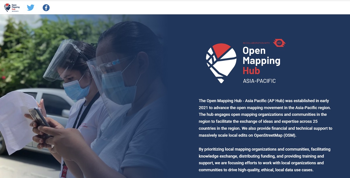
Humanitarian OSM Team (HOT) is an international team dedicated to humanitarian action and community development through open mapping. HOT’s Open Mapping Hub Asia Pacific has been playing a leading role in seeding and inculcating the mappers’ voluntary power in the Asia Region. The Open Mapping Hub - Asia Pacific (OMH-AP Hub) was established to advance the open mapping movement in the Asia-Pacific region. The hub engages open mapping organizations and communities in the region to facilitate the exchange of ideas and expertise across 25 countries in the region. They also provide financial and technical support to massively scale local edits on OSM.
In this backdrop, OMH-AP Hub is come forward to support the open mapping activities of Sri Lanka via a Booster Grant. The members of the OMH-AP Hub and OSM Sri Lankan mappers had started a national dialogue on how to increase local mapping activities and last few months and they have identified Eastern University, Sri Lanka. The Eastern University, Sri Lanka will act as the administrator of the fund as well as the leader in organizing the activities to be conducted under the grant.
2.Aim
Aim of the Booster grant is to support mapping activities to disseminate the knowledge on OSM/Open mapping national wide and thereby uplift the OSM Sri Lankan community.
3.Benefits for the University
The OSM activities lead by the Department of Geography, Eastern University, Sri Lanka will open new opportunities to obtain the geospatial technology knowledge and guidance for spatial data collection, analysis, modelling using open mapping tools for the staff and the students at both undergraduate and postgraduate levels.
Through the open mapping activities and related research, students can directly and indirectly connect with local and international community to improve the open mapping skill, knowledge, and communication on geospatial technology. Eastern University, Sri Lanka staffs and students will get an opportunity to link with other local universities and engage in common activities, there by improve their technical as well as social skills.
Eastern University, Sri Lanka will be the legal entity to obtain the booster grant and the booster grant’s finances will be administrated through the University Committee as below mentioned.
Eastern University Grant Finance Committee:
Advisors
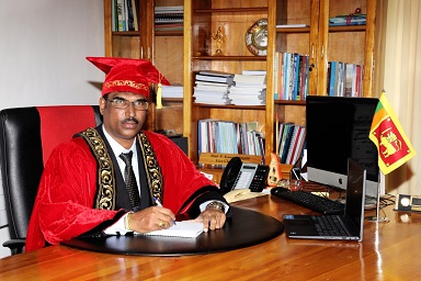
Prof. V. Kanagasingam,
Vice Chancellor
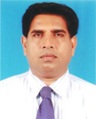
DR. K. Arulanandem,
Senior Lecturer Grade II
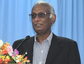
Dr. Yuvi Thangarajah
Coordinator, International Affairs Division
Members
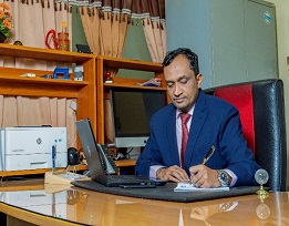
Finance Coordinator
Mr. M. M. Mohamed Fareez
Bursar
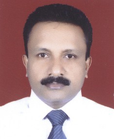
Project Lead
Dr. K. Rajendram
Senior Lecturer
Department of Geography

Project Coordinator
Ms. T. Sachithanantham
Head of Department
Geography
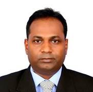
Technical Coordinator
Mr. S. Suthakaran, Lecturer
Department of Geography

IT coordinator
Mr. R. Sakuntharaj
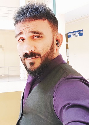
Monitoring Coordinator
Geospatial Info
Mr. A. L. S. Saabith
The grant activities will be guided by a facilitating team selected by the OSM community, Open Mapping Hub Asia Pacific and Humanitarian OpenStreetMap Team.
Operation
Collaboration
- International partners:
- Open Mapping Hub Asia Pacific and Humanitarian OpenStreetMap Team.
- International Organization, WFP, and UNDP Working along with the project for the technical guidance and sustainability
- National partners:
- Community organizations: Youthmappers Chapter at the Eastern University, Sri Lanka, OSGeo Sri Lanka Local Chapter, OSM community of Sri Lanka.
- University Sector
- Eastern University, Sri Lanka, University of Peradeniya, Sabaragamuwa University, University of Sri Jayewardenepura, University of Rajarata and South Eastern University of Sri Lanka With the engagement of the facilitators from the Universities the external trainings and OSM interventions will be coordinated with Eastern University.
- Government organizations:Disaster Management Center
Coordinating team:
The team of facilitators will work as coordinators and team of facilitators for technical Guidance and resourcing in the internal and external OSM interventions as well as supporting the mapping process in the selected GN division and virtually being in the OSM help desk.
Facilitators:
- Mrs. S. Vasanthakumary, Senior Lecturer, Department of Geography, Eastern University, Sri Lanka.
- Prof. R. M. K. Ratnayake, Department of Geography, University of Sri Jayewardenepura.
- Mis. Nimalika Fernando, President, OSGeo Local Chapter, Sri Lanka.
- Anuradha Rajanayake, Member of the OSM Sri Lanka.
- Prof. Nuwan Abeywardana, Head of the Department, Department of Heritage Management, Faculty of Social Sciences and Humanities, Rajarata University of Sri Lanka.
- Prof. Saman Koswatte, Department of RSGIS, Faculty of Geomatics, Sabaragamuwa University, Sri Lanka.
- Dr. I. L. Mohamed Zahir, Senior Lecturer, Department of Geography, South Eastern University of Sri Lanka.
- Mr. Janath Hettiarachchi, WFP, Sri Lanka.
- Mr. Zihan Zarouk, UNDP, Sri Lanka.
- Mr. Sampath Kukulavithana, Disaster Management Centre, Sri Lanka.
Proposed action plan to promote Open mapping under the grant
- Conducting basic OSM workshops internally
- Basic workshops At Eastern University
Workshops will be organized in collaboration with other facilitators of local Universities. Students and staffs exchange form different universities to build the community is planned. Workshops will be conducted at Eastern University, Sri Lanka or at other Universities. Students from Eastern University will travel to other university or students form other universities can visit to the Eastern University, Sri Lanka to participate in join workshops.
Cost of meals/ transport/ accommodation/ workshop material/ internet connectivity will be supported via the grant and Also Workshops will be organized in collaboration with government organizations such as Disaster Management Center, District Secretariat and Department of Irrigation, etc. to develop geospatial data required by them and introducing the open mapping environment. - Geospatial Mapping of selected GN division (Eravur Pattu)
- Open Mapping training to Eravur Pattu DS Division of the government officers
- Open mapping (Mobile application) awareness workshop for community (Famers, fishermen and Disaster Management committee)
- Develop the geospatial data for Eravur Pattu DS Division
- Prepare GN Divisions map of Eravur Pattu DS Division with OSM interface through community enhancement programe of EUSL .Cost of meals/ transport/ accommodation/ material/ internet connectivity will be supported via the grant.
Conducting advanced OSM / open mapping workshops with other Universities/ Government Sector/ Non-Government Organization. For those who are already familiar with basic mapping techniques, advanced methods, trouble shooting, data quality matters etc. will be introduced. Cost of meals/ transport/ accommodation/ material/ internet connectivity and trainer allowances (if any ) will be supported via the grant
- Establish an open mapping helpdesk with a Research Unit at the Eastern University and lead Research and Development
An Open Mapping Helpdesk will be established at the Eastern University, Sri Lanka which will support the OSM mapping activities. The helpdesk will network with individuals who like to continue as trainers identified based on the participation of other workshops and offer support/seminars. Activities to continue the networking with government, other Universities etc. will be organized (Friendly mapping challenges, mapping activities, research etc.). Eastern University students (Special Degree in Geography) will take the leading role in this helpdesk. Mappers from the open mapping helpdesk will be leading to focus the local and national research activities especially in open mapping, Disaster Risk Reduction, Development etc. - Incorporate OSM into the existing Geography Curriculum
- Curriculum review process
- OSM GIS short course for outsiders
- Develop the curriculum as open source web based application and incorporate into existing B.A Hons Degree Program in Geography.
- GIS as a non-credit subject for all students in other faculties.
- Basic workshops At Eastern University
Timeline of the activities
|
(by Jan 31) |
(Feb-Mar 23) |
(Apr-May 23) |
(Jun-Jul 23) |
(Aug-Sep 23) |
(Oct-Nov 23) |
|
|---|---|---|---|---|---|---|
|
Inauguration Ceremony |
✔ |
|||||
|
1 Basic workshops |
||||||
|
Eastern University |
✔1 |
✔2 |
||||
|
Collaboration with University 1 |
✔ |
✔ |
||||
|
Collaboration with University 2/3 |
✔ |
✔ |
✔ |
|||
|
Collaboration with University 4/5 |
✔ |
✔ |
||||
|
2. Geospatial Mapping |
✔ |
✔ |
✔ |
|||
|
3. Open Mapping Helpdesk |
✔ |
✔ |
✔ |
✔ |
||
|
Work plan, Wiki page |
◆ |
|||||
|
Reporting/ Communication |
|
◆ |
◆ |
◆ |
◆ |
|
|
4. Curriculum |

